

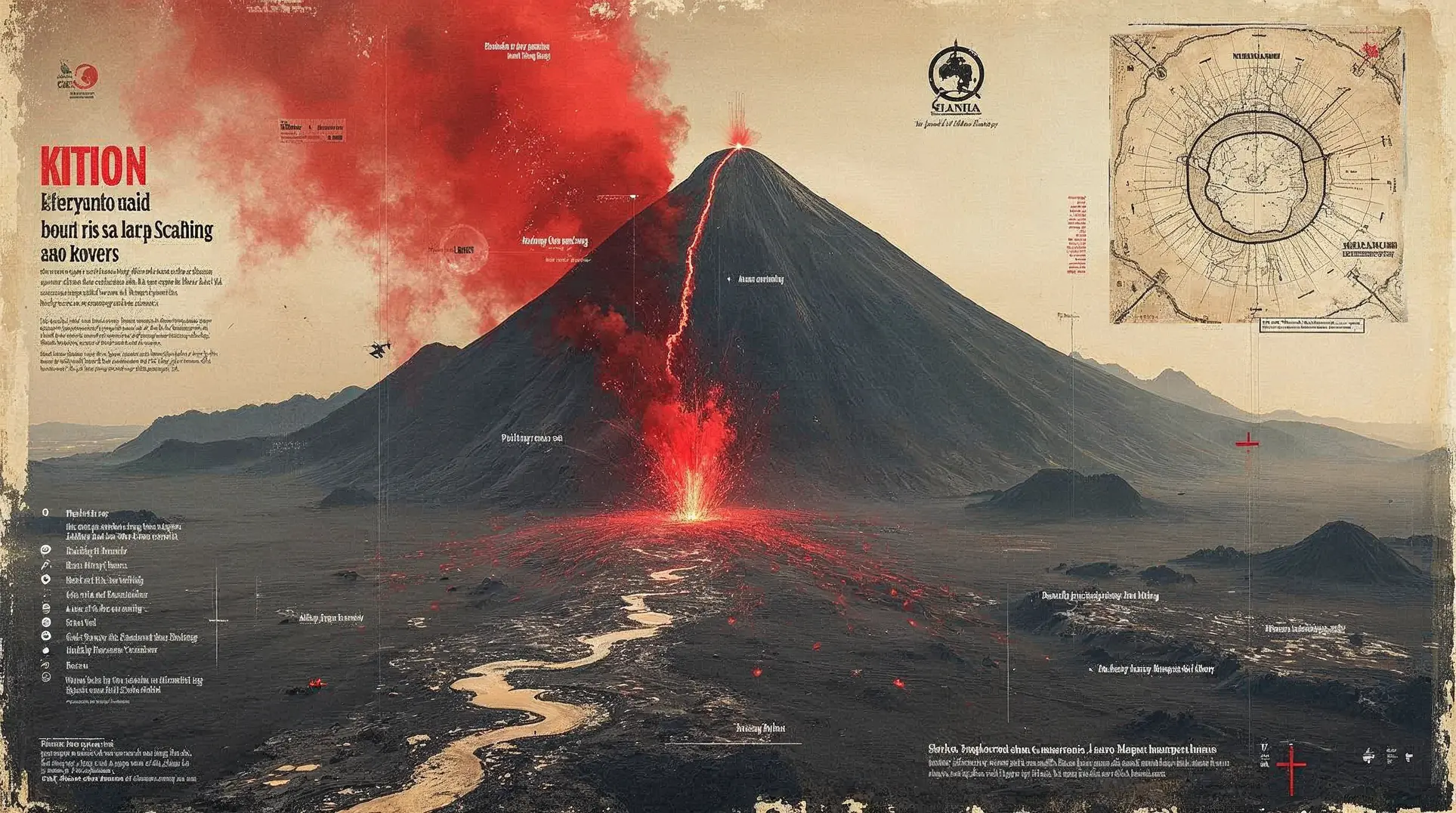
Mount Semeru, Indonesia's highest peak on Java island, erupted on 19 November 2025 with an ash plume reaching approximately 54,000 feet (16.5 kilometers), prompting a red aviation warning and immediate evacuations. Pyroclastic density currents—mixtures of gas and rock particles that move at very high speed down volcanic slopes—traveled up to 8 kilometers from the summit along the southeast sector. Aviation authorities issued the highest-level volcano alert for flight operations as the ash column entered cruise altitudes. Initial reports from local authorities indicated no confirmed casualties as emergency teams moved residents out of high-risk zones.
The eruption marks a significant intensification at a volcano already in near-continuous eruption. Indonesia's Center for Volcanology and Geological Hazard Mitigation (PVMBG) has recorded more than 2,800 eruptions at Semeru in 2025 alone—leading all Indonesian volcanoes and accounting for roughly 40 percent of the nation's ~6,900 volcanic events this year. The operational challenge is not whether Semeru is active, but whether today's high-altitude plume and extended pyroclastic flows have shifted risk thresholds for surrounding communities and aviation corridors.
Eruption sequence and seismic intensity
The Mount Semeru Observation Post documented three early-morning eruptions at 04:10, 05:09, and 06:05 Western Indonesia Time (WIB), according to reports carried by Antara news agency. These events produced ash columns 500 to 600 meters above the summit, drifting southwest to southeast. Seismographs registered maximum amplitudes around 22 millimeters with durations of 137 to 150 seconds.
The larger eruption followed later on 19 November, sending the ash plume to approximately 54,000 feet and generating pyroclastic flows that extended roughly 8 kilometers down the volcano's flanks. PVMBG's MAGMA Indonesia monitoring system logged 156 eruption earthquakes on 19 November, with amplitudes ranging from 10 to 22 millimeters and durations between 45 and 180 seconds. The seismic signature indicates sustained magma movement and gas release within the volcanic system.
Mount Semeru, also known as Mahameru, rises to approximately 3,657 meters and straddles Lumajang and Malang Regencies in East Java. The volcano has maintained persistent activity for decades, with frequent ash emissions, incandescent avalanches down its steep slopes, and periodic pyroclastic flows along drainage channels radiating from the summit.
Exclusion zones and lahar risk
PVMBG urges residents and visitors to avoid the southeast sector along the Besuk Kobokan drainage for up to 8 kilometers from the summit. Residents must stay at least 500 meters from riverbanks along Besuk Kobokan, where hot clouds and lava flows may extend as far as 13 kilometers from the peak. A general exclusion zone of at least 3 kilometers from the crater remains in effect due to the risk of ejected incandescent material.
Additional warnings cover the Besuk Bang, Besuk Kembar, and Besuk Sat drainages, where lahars—volcanic mudflows triggered when rain mobilizes loose ash and debris—pose significant downstream hazards. East Java is currently in its seasonal rainfall period, elevating the probability that intense precipitation will transform fresh volcanic deposits into fast-moving slurries capable of sweeping through river valleys and inundating populated areas.
Members are reading: Why distance-based river exclusions—not alert-level headlines—determine survival at Semeru, and how rainfall transforms fresh ash into fast-moving deadly lahars.
Impact, evacuations, and health concerns
Local authorities activated evacuations in exposed communities as the eruption intensified. Ashfall affected downwind areas, coating crops, roofs, and water sources with fine volcanic particles. Health officials are monitoring respiratory risks, particularly for children, the elderly, and residents with pre-existing pulmonary conditions. Relief agencies are preparing shelters, distributing masks, and staging logistics for extended displacement if activity persists.
As of initial reporting, no casualties have been confirmed. The absence of immediate fatalities reflects improved early-warning dissemination and community familiarity with exclusion protocols after the 2021 tragedy. Semeru's December 2022 eruption similarly prompted large-scale precautionary evacuations, though with less dramatic plume heights than the 19 November event.
Indonesia's volcanic monitoring network, among the densest in the world, faces the operational challenge of maintaining public vigilance at chronically active volcanoes. Semeru's near-daily activity can foster complacency, making the communication of threshold changes—like the shift from 600-meter morning plumes to a 16.5-kilometer column later the same day—essential for effective risk management. The country's experience managing sequential disasters, including recent typhoon responses in the Philippines and mass evacuations across Southeast Asia, underscores the strain on regional preparedness when multiple hazards converge.
What to watch
Observers should monitor PVMBG updates for any changes to alert levels or exclusion distances, particularly if eruption earthquake frequency or pyroclastic-flow runout distances increase. Rainfall forecasts for East Java will determine lahar risk; intense precipitation over the next 72 hours could trigger multiple mudflows along Semeru's drainage network. Ash dispersion models will guide aviation advisories and health alerts for downwind districts. The stability of the summit crater and the frequency of eruption earthquakes remain key indicators of whether magma supply is accelerating or the current pulse will subside to Semeru's baseline tempo of modest daily explosions.
Subscribe to our free newsletter to unlock direct links to all sources used in this article.
We believe you deserve to verify everything we write. That's why we meticulously document every source.


