


Highest-level flood warning covers 14 wards after record rainfall overwhelms three river systems, halting all subway lines
Nagoya City issued its highest-level emergency warning to more than 1.17 million residents across 14 wards on Tuesday evening after a stationary rain band dumped record rainfall on central Japan, triggering simultaneous flood threats across three river systems. The Japan Meteorological Agency confirmed 104.5 mm of rain fell in a single hour, breaking previous records for the city. All lines of the Nagoya Municipal Subway were suspended, along with municipal bus service and portions of JR and Kintetsu rail lines.
The Level 5 "Emergency Safety Assurance" alert is Japan's highest disaster warning tier. It is not a standard evacuation order. It instructs residents to take immediate life-saving action, move to the highest available floor, and avoid going outside. Nagoya's warning history in 2026 follows a pattern documented elsewhere in the region this year, including mass subway shutdowns during Liaoning's storm crisis in China and Typhoon Dolphin's million-plus displacement in Zhejiang.
The escalation within 40 minutes
Nagoya City activated its disaster response center at approximately 15:34 JST Tuesday. The JMA confirmed a linear rain band over western Aichi and Gifu's Mino region around 16:00. At 16:53, the agency recorded 104.5 mm of rainfall in one hour in Nagoya.
An initial Level 5 alert was issued around 17:15 for roughly 64,615 people in parts of Chikusa, Moriyama and Meito wards, triggered by the Kanare River. By approximately 17:55, the alert expanded to 607,879 households — 1,172,102 people — across 14 wards, as the Yada and Ueta rivers reported dangerous rises alongside the Kanare. A Level 5 warning for the Shonai River followed around 18:20, extending the threat beyond city limits. Komaki City, adjacent to Nagoya, recorded 102 mm in one hour, prompting the JMA to issue a separate "historically intense rainfall" bulletin.
Observers are reading: Why the Shonai River warning could determine if Nagoya's alert expands further overnight.
Become an Observer — it's free. Get full access to all Crisis.Zone analysis, briefings and breaking coverage.
Streets flooded, commuters stranded
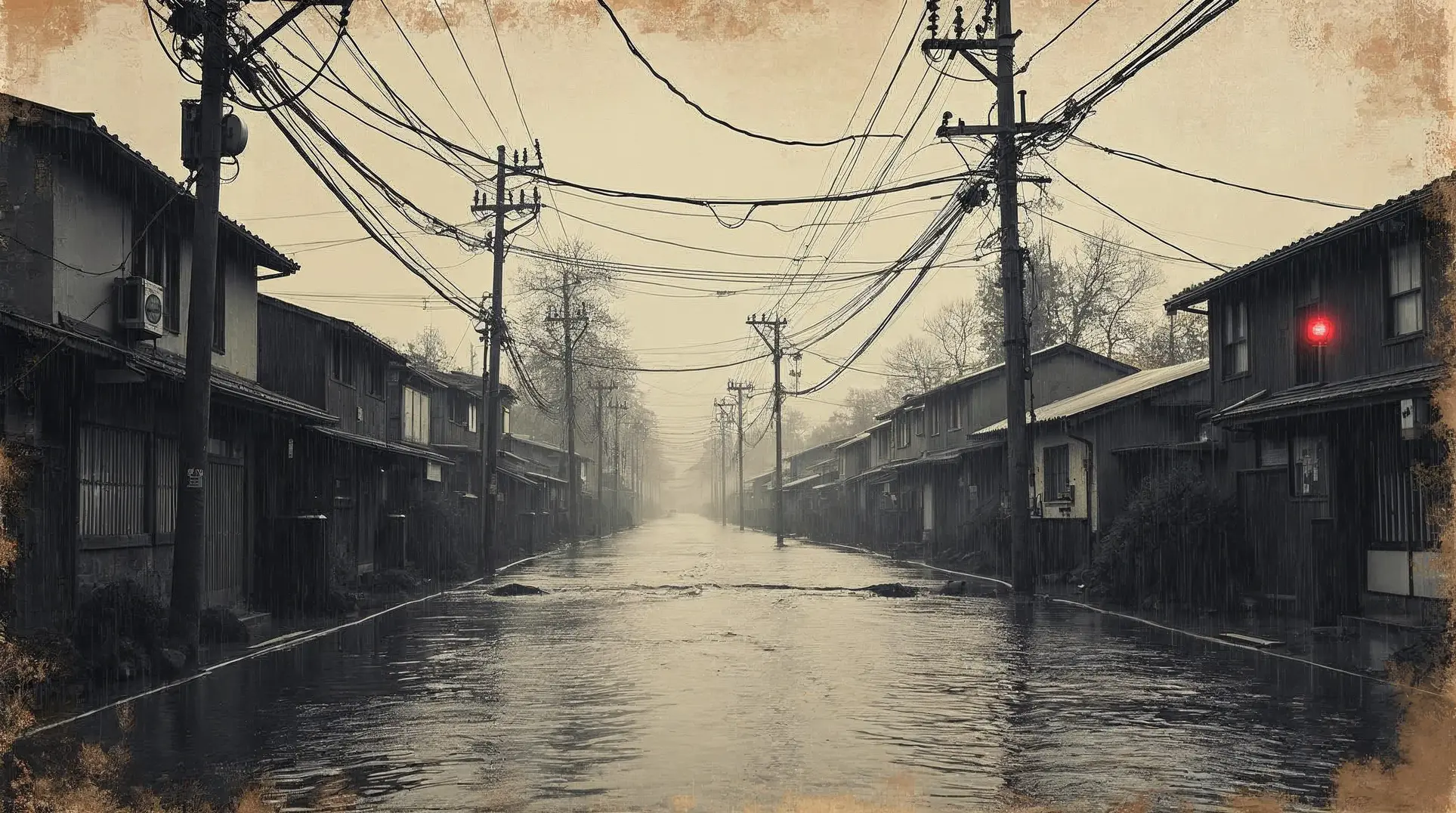
Social media footage showed extensive road flooding in Sakae, central Nagoya's busiest commercial district, with vehicles submerged up to their doors. NHK reported that in Minato Ward, underpasses flooded and drivers abandoned vehicles; authorities confirmed all occupants escaped unassisted. The Yamazakigawa temporarily overflowed near Showa Ward. With all transit suspended, commuters were forced to walk through heavy rain, and so-called "return-home refugees" were stranded at stations and commercial facilities into the evening.
Level 4 evacuation orders were issued for Kasugai, Yokkaichi, Kiyosu, Ama and Oharu, and Kanie, along with parts of Showa and Mizuho wards within Nagoya itself.
What happens next
Rain is forecast to continue into Wednesday morning, with the Shonai River threat and possible expansion of Level 5 coverage the immediate variables to watch. One day earlier, Nagoya Mayor Ichiro Hirozawa had appeared at a routine public safety campaign at Kanayama Station — a reminder of how quickly conditions shifted from ordinary civic messaging to a citywide emergency covering more than half the city's population.
Become an Observer — it's free — to unlock direct links to all sources used in this article.
We believe you deserve to verify everything we write. That's why we meticulously document every source.


